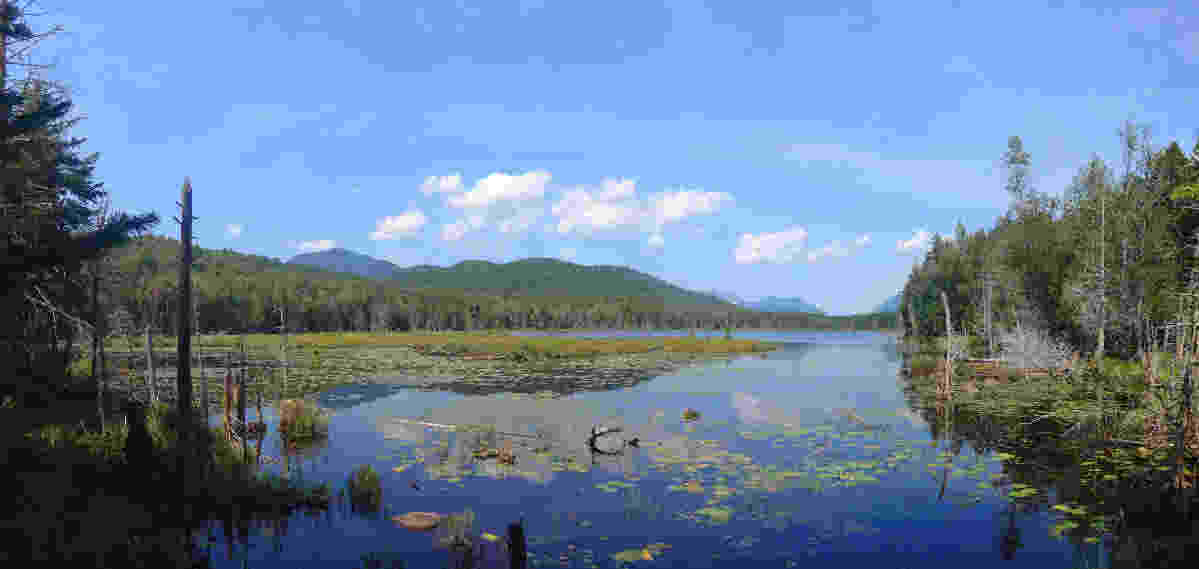
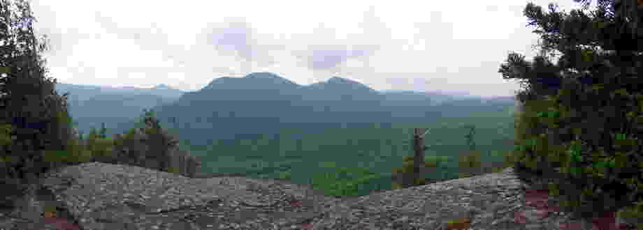
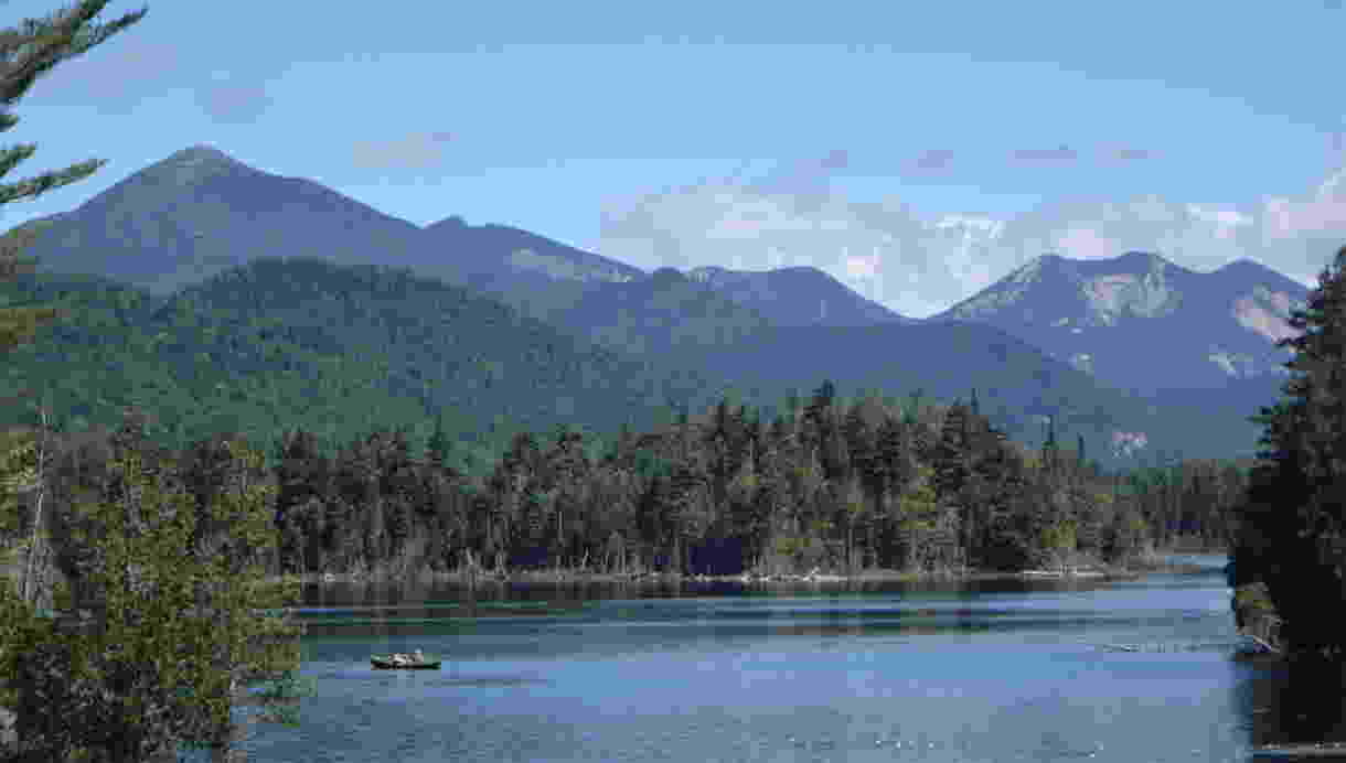
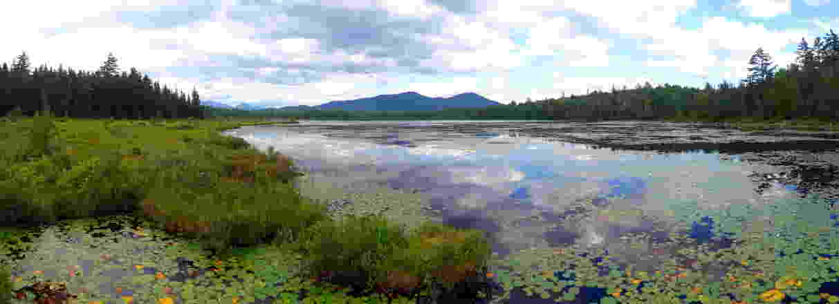
The Boreas Ponds Tract has many miles of roads and trails to explore and lakes with stunning views of the Adirondack
Dozens of roads and trails are described and a full atlas of the entire Boreas Ponds Tract
Hiking

The entire 30,000 acres of the Boreas Ponds Tract is open for hiking and there's lots
-
Easy to read descriptions of all of the main roads
and trails - Each includes an elevation profile and
strip map
- Water sources, camp sites, and privy locations
- Fully cross-referenced
- Each includes an elevation profile and
- Detailed topographic maps
-
Suggested hikes
Everything from easy day hikes to more challenging routes and
multi-day trips -
Off-trail hiking
Suggested approaches to the surrounding peaks, maps, and GPS coordinates of
key locations -
Scenic areas
Locations of views and scenic areas; many are
easy to reach - Connections to the rest of the High Peaks
Camping


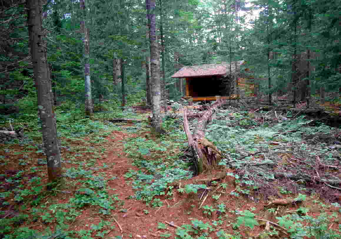
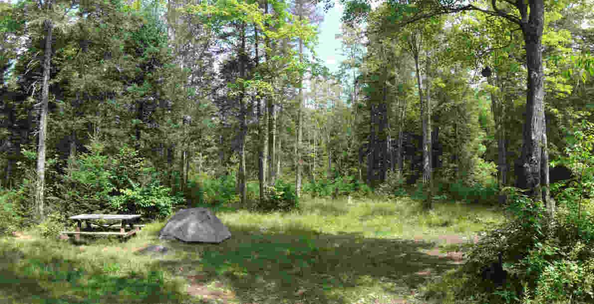
There are numerous opportunities for camping in the Boreas Ponds Tract including leantos, primitive tent sites, and roadside camping.
Included in the
- Camp site locations both official and at-large
- Water source and privy locations
- Recommended sites
- Future camp site and lean-to locations
Lakes and ponds


The Tract's lakes and ponds are the area's star attraction and can be explored both on the water and from
- Full page maps of the Boreas Ponds, LaBier Flow, and Wolf Pond
- Canoe launch locations
- Current and future camp site locations
- Lakeside hiking trails
- Scenic view points
- Canoe rental information
Cycling, horseback riding, and skiing


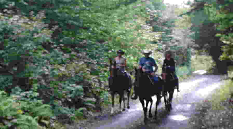
Many of the roads in the Boreas Ponds Tract are currently open for bicycling and horseback riding with additional trails planned for the future.
This book describes all of the roads that are currently open to bikes

The Boreas Ponds Tract has dozens of miles of roads that are suitable for skiing and this book describes
Getting to the Tract

The Boreas Ponds Tract is easily reached from all parts of
- Parking locations with GPS coordinates
- Roadside camp sites
- State and commercial campgrounds
- Canoe and ski rental locations
- Other useful local services
Plus much more…


-
Rock climbing
The Ragged Mountain cliffs are well-known and easy to reach. -
Swimming
Locations that are nice for swimming are listed. -
History of the Boreas Ponds Tract
A section on the history of the Tract is included and additional historical information is interspersed throughout
the text If you're interested in exploring the Tract's past on the the ground, this book provides maps of former roads and dams including the route of the first road built intothe Tract. -
Future of the Tract
The locations of future camp sites, lean-tos, and trails are described.
-
Practical information
- Privy locations
- GPS coordinates for many points of interest
- Information on public access to private lands
- Locations with cell phone service
- Safety tips
- Tips on dealing with dangerous or annoying animals
-
Easy to use
- Fully cross-referenced
- Icons throughout the text help you quickly find what you're looking for
- All distances and elevations given in both US customary units and in metric
- Glossary of terms
- Complete index of text and maps
